
Yukarı Seydiköy topographic map
Interactive map
Click on the map to display elevation.
About this map
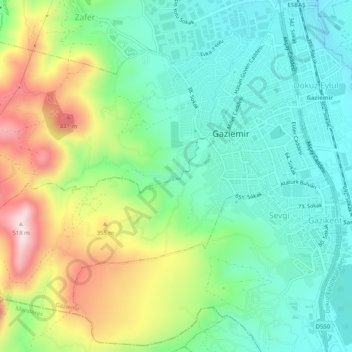
Name: Yukarı Seydiköy topographic map, elevation, terrain.
Location: Yukarı Seydiköy, Gaziemir, Izmir, Aegean Region, 35410, Turkey (38.29647 27.09903 38.33647 27.13903)
Average elevation: 774 ft
Minimum elevation: 322 ft
Maximum elevation: 1,699 ft