
Schönewalde topographic map
Interactive map
Click on the map to display elevation.
About this map
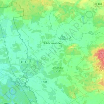
Name: Schönewalde topographic map, elevation, terrain.
Location: Schönewalde, Elbe-Elster, Brandebourg, Allemagne (51.71444 13.12327 51.88575 13.39216)
Average elevation: 282 ft
Minimum elevation: 236 ft
Maximum elevation: 459 ft