
Clover topographic map
Interactive map
Click on the map to display elevation.
About this map
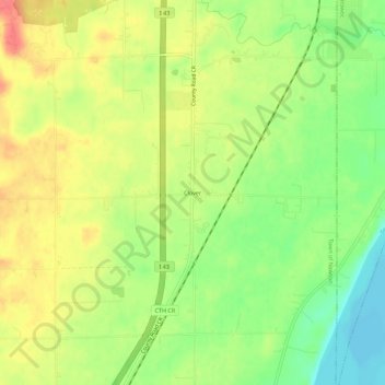
Name: Clover topographic map, elevation, terrain.
Location: Clover, Manitowoc County, Wisconsin, 54775, USA (44.01807 -87.72168 44.05807 -87.68168)
Average elevation: 666 ft
Minimum elevation: 564 ft
Maximum elevation: 761 ft