
Saint Henry topographic map
Interactive map
Click on the map to display elevation.
About this map
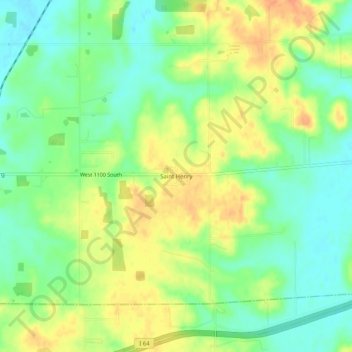
Name: Saint Henry topographic map, elevation, terrain.
Location: Saint Henry, Dubois County, Indiana, USA (38.19755 -86.94861 38.23755 -86.90861)
Average elevation: 525 ft
Minimum elevation: 463 ft
Maximum elevation: 597 ft