
Deventer topographic map
Interactive map
Click on the map to display elevation.
About this map
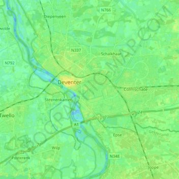
Name: Deventer topographic map, elevation, terrain.
Location: Deventer, Overijssel, Niederlande (52.21744 6.12111 52.28111 6.27592)
Average elevation: 23 ft
Minimum elevation: -13 ft
Maximum elevation: 56 ft