
Kirat Chuli (Tent Peak) topographic map
Interactive map
Click on the map to display elevation.
About this map
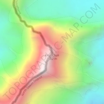
Name: Kirat Chuli (Tent Peak) topographic map, elevation, terrain.
Average elevation: 20,735 ft
Minimum elevation: 18,455 ft
Maximum elevation: 24,098 ft