
Comenda topographic map
Interactive map
Click on the map to display elevation.
About this map
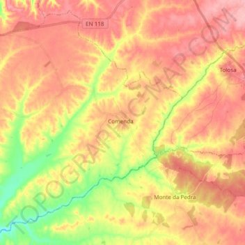
Name: Comenda topographic map, elevation, terrain.
Location: Comenda, Gavião, Portalegre, Alto Alentejo, Alentejo, Portugal (39.34587 -7.89535 39.45195 -7.74545)
Average elevation: 840 ft
Minimum elevation: 610 ft
Maximum elevation: 994 ft