
Yapen topographic map
Interactive map
Click on the map to display elevation.
About this map
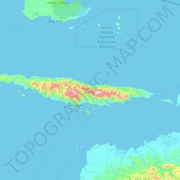
Name: Yapen topographic map, elevation, terrain.
Location: Yapen, Kepulauan Yapen, Papua, 98211, Indonesia (-1.91305 135.40999 -1.59840 136.90433)
Average elevation: 128 ft
Minimum elevation: -10 ft
Maximum elevation: 4,705 ft
Other topographic maps
Click on a map to view its topography, its elevation and its terrain.
Distrik Talambo
Distrik Talambo, Yahukimo, Papua, Indonesia
Average elevation: 3,839 ft