
Guillemins topographic map
Interactive map
Click on the map to display elevation.
About this map
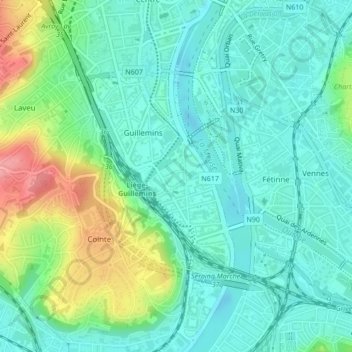
Name: Guillemins topographic map, elevation, terrain.
Location: Guillemins, Luik, Wallonië, 4000, België (50.61670 5.56044 50.63266 5.57883)
Average elevation: 272 ft
Minimum elevation: 177 ft
Maximum elevation: 522 ft
Other topographic maps
Click on a map to view its topography, its elevation and its terrain.