
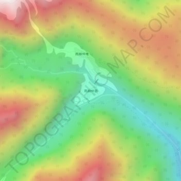
雨崩仲面 topographic map
Interactive map
Click on the map to display elevation.
About this map
Name: 雨崩仲面 topographic map, elevation, terrain.
Location: 雨崩仲面, 云岭乡, 德钦县, 迪庆藏族自治州, 云南省, 中国 (28.37245 98.77351 28.41245 98.81351)
Average elevation: 11,483 ft
Minimum elevation: 9,262 ft
Maximum elevation: 14,298 ft