
Santa Helena topographic map
Interactive map
Click on the map to display elevation.
About this map
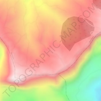
Name: Santa Helena topographic map, elevation, terrain.
Location: Santa Helena, Barichara, Guanentá, Santander, Colombia (6.55575 -73.22327 6.57575 -73.20327)
Average elevation: 4,813 ft
Minimum elevation: 3,602 ft
Maximum elevation: 5,404 ft
Other topographic maps
Click on a map to view its topography, its elevation and its terrain.
El salto del Mico
Colombia > Santander > Barichara
El salto del Mico, Carrera 5 Sur, Barichara, Guanentá, Santander, 684041, Colombia
Average elevation: 3,612 ft