
宁强县 topographic map
Interactive map
Click on the map to display elevation.
About this map
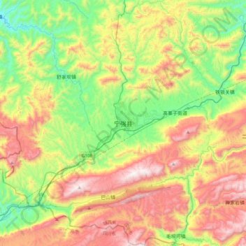
Name: 宁强县 topographic map, elevation, terrain.
Location: 宁强县, 汉中市, 陕西省, 中国 (32.67124 106.09479 32.99124 106.41479)
Average elevation: 3,642 ft
Minimum elevation: 1,913 ft
Maximum elevation: 6,089 ft
Other topographic maps
Click on a map to view its topography, its elevation and its terrain.