
Coyote Ridge Natural Area topographic map
Interactive map
Click on the map to display elevation.
About this map
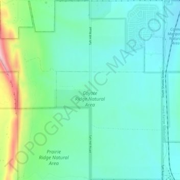
Name: Coyote Ridge Natural Area topographic map, elevation, terrain.
Average elevation: 5,190 ft
Minimum elevation: 5,023 ft
Maximum elevation: 5,725 ft