
Dennison topographic map
Interactive map
Click on the map to display elevation.
About this map
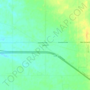
Name: Dennison topographic map, elevation, terrain.
Location: Dennison, Ottawa County, Michigan, 49404, USA (43.05335 -86.00727 43.09335 -85.96727)
Average elevation: 653 ft
Minimum elevation: 617 ft
Maximum elevation: 702 ft