
Gortel topographic map
Interactive map
Click on the map to display elevation.
About this map
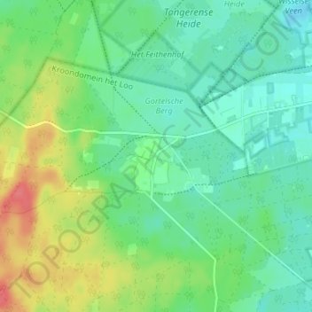
Name: Gortel topographic map, elevation, terrain.
Location: Gortel, Emst, Epe, Gelderland, Nederland, 8166, Nederland (52.29392 5.87609 52.33392 5.91609)
Average elevation: 115 ft
Minimum elevation: 52 ft
Maximum elevation: 243 ft