
Hästveda topographic map
Interactive map
Click on the map to display elevation.
About this map
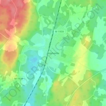
Name: Hästveda topographic map, elevation, terrain.
Location: Hästveda, Hässleholm, Skåne County, Region Götaland, Sweden (56.26451 13.91639 56.30451 13.95639)
Average elevation: 266 ft
Minimum elevation: 171 ft
Maximum elevation: 433 ft