
El Ingenio topographic map
Interactive map
Click on the map to display elevation.
About this map
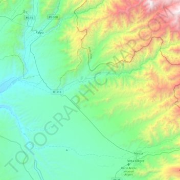
Name: El Ingenio topographic map, elevation, terrain.
Location: El Ingenio, Nasca, Ica, Peru (-14.80366 -75.23966 -14.54489 -74.78817)
Average elevation: 2,851 ft
Minimum elevation: 564 ft
Maximum elevation: 10,226 ft