
Danbury topographic map
Interactive map
Click on the map to display elevation.
About this map
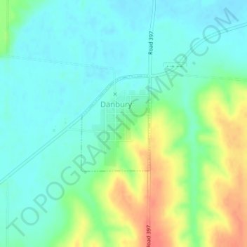
Name: Danbury topographic map, elevation, terrain.
Location: Danbury, Red Willow County, Nebraska, USA (40.03300 -100.41040 40.04344 -100.40058)
Average elevation: 2,500 ft
Minimum elevation: 2,444 ft
Maximum elevation: 2,615 ft