
Ster topographic map
Interactive map
Click on the map to display elevation.
About this map
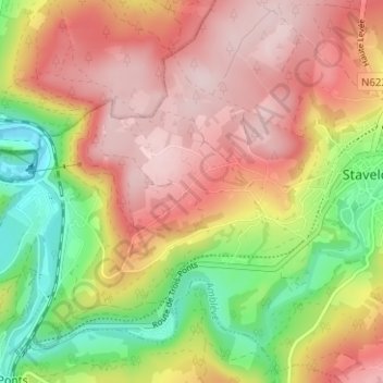
Name: Ster topographic map, elevation, terrain.
Location: Ster, Luik, Wallonië, 4980, België (50.37239 5.88217 50.41239 5.92217)
Average elevation: 1,237 ft
Minimum elevation: 715 ft
Maximum elevation: 1,654 ft