
De Kwakel topographic map
Interactive map
Click on the map to display elevation.
About this map
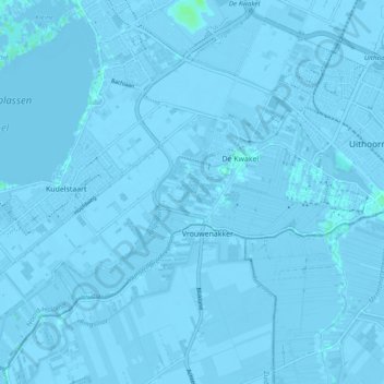
Name: De Kwakel topographic map, elevation, terrain.
Location: De Kwakel, Uithoorn, North Holland, Netherlands, The Netherlands (52.20652 4.72366 52.26092 4.81950)
Average elevation: -7 ft
Minimum elevation: -23 ft
Maximum elevation: 16 ft