
Gemona topographic map
Interactive map
Click on the map to display elevation.
About this map
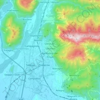
Name: Gemona topographic map, elevation, terrain.
Location: Gemona, UTI del Gemonese, Friuli Venezia Giulia, 33013, Italy (46.23942 13.09189 46.32545 13.24681)
Average elevation: 1,568 ft
Minimum elevation: 545 ft
Maximum elevation: 5,545 ft