
Balapur topographic map
Interactive map
Click on the map to display elevation.
About this map
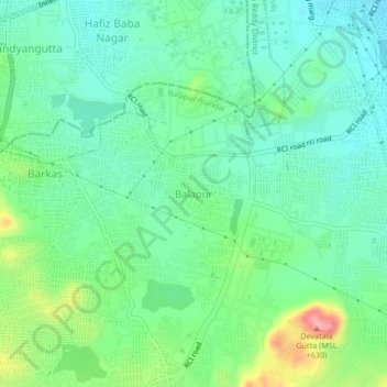
Name: Balapur topographic map, elevation, terrain.
Average elevation: 1,768 ft
Minimum elevation: 1,650 ft
Maximum elevation: 2,070 ft
Other topographic maps
Click on a map to view its topography, its elevation and its terrain.
Nadergul
India > Telangana > Balapur mandal
Nadergul, Balapur mandal, Rangareddy, Telangana, 500021, India
Average elevation: 1,804 ft