
Hungry Horse topographic map
Interactive map
Click on the map to display elevation.
About this map
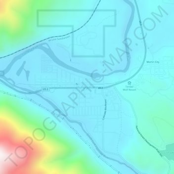
Name: Hungry Horse topographic map, elevation, terrain.
Location: Hungry Horse, Flathead County, Montana, 59926, États-Unis (48.36580 -114.08095 48.40580 -114.04095)
Average elevation: 3,510 ft
Minimum elevation: 3,009 ft
Maximum elevation: 6,348 ft