
Konradshöhe topographic map
Interactive map
Click on the map to display elevation.
About this map
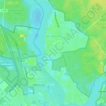
Name: Konradshöhe topographic map, elevation, terrain.
Location: Konradshöhe, Reinickendorf, Berlin, 13505, Germany (52.56773 13.21664 52.59488 13.23839)
Average elevation: 118 ft
Minimum elevation: 95 ft
Maximum elevation: 151 ft
Other topographic maps
Click on a map to view its topography, its elevation and its terrain.