
San Carlos topographic map
Interactive map
Click on the map to display elevation.
About this map
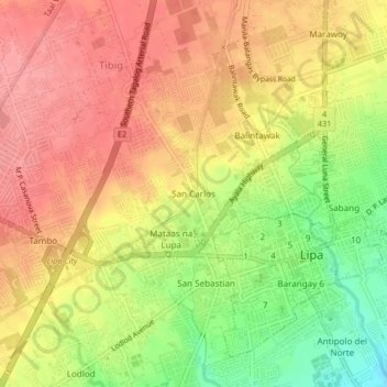
Name: San Carlos topographic map, elevation, terrain.
Location: San Carlos, Lipa, Batangas, Calabarzon, 4217, Philippines (13.92778 121.13168 13.96778 121.17168)
Average elevation: 1,112 ft
Minimum elevation: 932 ft
Maximum elevation: 1,227 ft