
Río Jerte topographic map
Interactive map
Click on the map to display elevation.
About this map
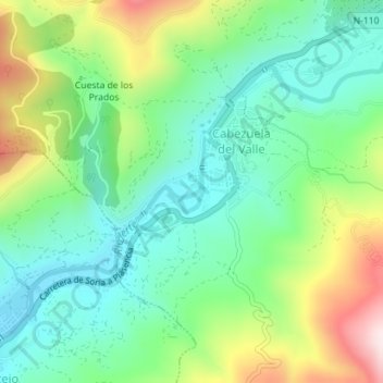
Name: Río Jerte topographic map, elevation, terrain.
Average elevation: 1,991 ft
Minimum elevation: 1,496 ft
Maximum elevation: 3,015 ft
Other topographic maps
Click on a map to view its topography, its elevation and its terrain.
Garganta de los Infiernos
España > Extremadura > Cabezuela del Valle
Garganta de los Infiernos, Cabezuela del Valle, Cáceres, Extremadura, 10610, España
Average elevation: 2,608 ft