
Gargour topographic map
Interactive map
Click on the map to display elevation.
About this map
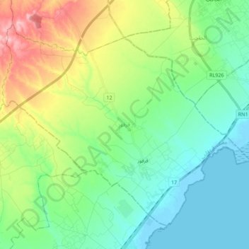
Name: Gargour topographic map, elevation, terrain.
Location: Gargour, Limite communale, Sfax, Tunisie (34.59252 10.50425 34.70576 10.67262)
Average elevation: 135 ft
Minimum elevation: -13 ft
Maximum elevation: 453 ft
Other topographic maps
Click on a map to view its topography, its elevation and its terrain.