
Laufenburg topographic map
Interactive map
Click on the map to display elevation.
About this map
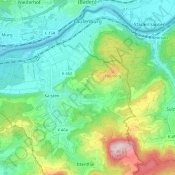
Name: Laufenburg topographic map, elevation, terrain.
Location: Laufenburg, Bezirk Laufenburg, Argovie, Suisse (47.51733 8.04605 47.56459 8.12194)
Average elevation: 1,345 ft
Minimum elevation: 958 ft
Maximum elevation: 2,356 ft