
Le Dimitile topographic map
Interactive map
Click on the map to display elevation.
About this map
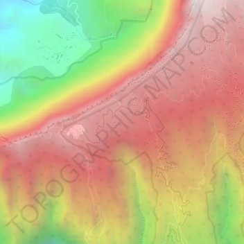
Name: Le Dimitile topographic map, elevation, terrain.
Average elevation: 4,760 ft
Minimum elevation: 2,211 ft
Maximum elevation: 6,322 ft
Other topographic maps
Click on a map to view its topography, its elevation and its terrain.
Ilet Canelle
France > La Réunion > Entre-Deux
Ilet Canelle, Entre-Deux, Saint-Pierre, La Réunion, 97414, France
Average elevation: 2,073 ft
L'entre-Deux
France > La Réunion > Entre-Deux
L'entre-Deux, Entre-Deux, Saint-Pierre, La Réunion, 97414, France
Average elevation: 6,184 ft
Ravine des Citrons
France > La Réunion > Entre-Deux
Ravine des Citrons, Entre-Deux, Saint-Pierre, La Réunion, 97414, France
Average elevation: 1,654 ft