
Despeñaderos topographic map
Interactive map
Click on the map to display elevation.
About this map
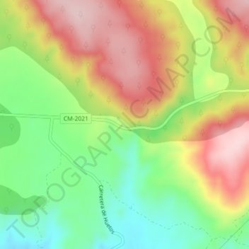
Name: Despeñaderos topographic map, elevation, terrain.
Location: Despeñaderos, Cifuentes, Guadalajara, Castela-Mancha, Espanha (40.76036 -2.58192 40.78036 -2.56192)
Average elevation: 3,278 ft
Minimum elevation: 2,887 ft
Maximum elevation: 3,688 ft