
Lagat Island topographic map
Interactive map
Click on the map to display elevation.
About this map
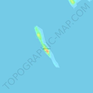
Name: Lagat Island topographic map, elevation, terrain.
Location: Lagat Island, Tara, Coron, Palawan, Mimaropa, Philippines (12.24291 120.35778 12.25524 120.36530)
Average elevation: 0 ft
Minimum elevation: -10 ft
Maximum elevation: 151 ft