
Dowra ED topographic map
Interactive map
Click on the map to display elevation.
About this map
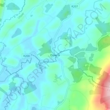
Name: Dowra ED topographic map, elevation, terrain.
Location: Dowra ED, Dowra, County Cavan, Ireland (54.17025 -8.03463 54.21025 -7.99463)
Average elevation: 269 ft
Minimum elevation: 154 ft
Maximum elevation: 925 ft