
Buchlyvie topographic map
Interactive map
Click on the map to display elevation.
About this map
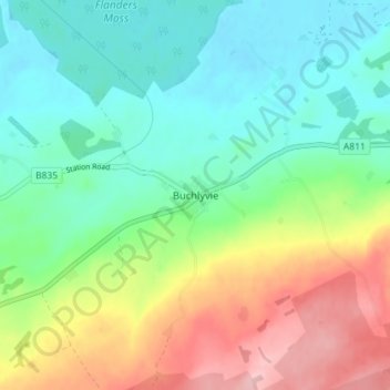
Name: Buchlyvie topographic map, elevation, terrain.
Location: Buchlyvie, Stirling, Scotland, FK8 3LR, United Kingdom (56.09549 -4.31364 56.13549 -4.27364)
Average elevation: 220 ft
Minimum elevation: 36 ft
Maximum elevation: 577 ft