
Lampernisse topographic map
Interactive map
Click on the map to display elevation.
About this map
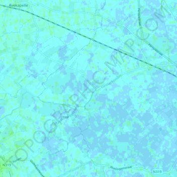
Name: Lampernisse topographic map, elevation, terrain.
Location: Lampernisse, Diksmuide, West-Vlaanderen, België (51.01467 2.74311 51.06475 2.83095)
Average elevation: 3 ft
Minimum elevation: -7 ft
Maximum elevation: 20 ft