
Rohel topographic map
Interactive map
Click on the map to display elevation.
About this map
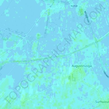
Name: Rohel topographic map, elevation, terrain.
Location: Rohel, Friesland, Niederlande, 9285, Niederlande (53.20342 6.12739 53.24342 6.16739)
Average elevation: 3 ft
Minimum elevation: -10 ft
Maximum elevation: 16 ft