
Bicknell topographic map
Interactive map
Click on the map to display elevation.
About this map
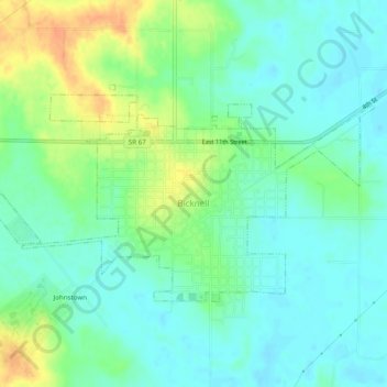
Name: Bicknell topographic map, elevation, terrain.
Location: Bicknell, Knox County, Indiana, 47512, VS (38.76450 -87.33375 38.78589 -87.28491)
Average elevation: 486 ft
Minimum elevation: 443 ft
Maximum elevation: 574 ft