
Atotonilco topographic map
Interactive map
Click on the map to display elevation.
About this map
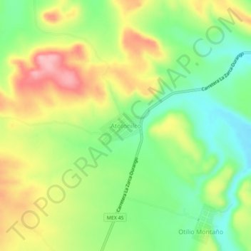
Name: Atotonilco topographic map, elevation, terrain.
Location: Atotonilco, San Juan del Río, Durango, México (24.82246 -104.50517 24.86246 -104.46517)
Average elevation: 5,541 ft
Minimum elevation: 5,318 ft
Maximum elevation: 5,823 ft