
Banwell topographic map
Click on the map to display elevation.
About this map
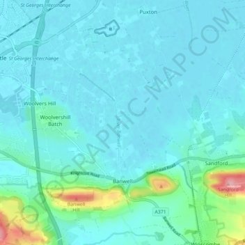
Name: Banwell topographic map, elevation, terrain.
Location: Banwell, North Somerset, England, United Kingdom (51.31376 -2.90864 51.36821 -2.83728)
Average elevation: 62 ft
Minimum elevation: 7 ft
Maximum elevation: 433 ft
Other topographic maps
Click on a map to view its topography, its elevation and its terrain.
Upper Canada
United Kingdom > England > North Somerset > Hutton > Upper Canada
Average elevation: 157 ft