
The Grove '55 topographic map
Interactive map
Click on the map to display elevation.
About this map
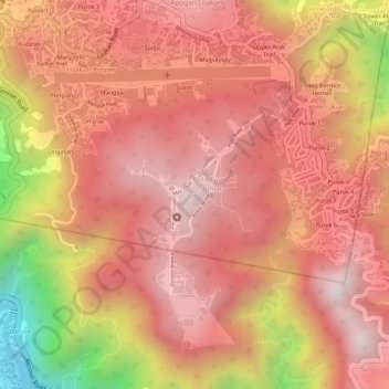
Name: The Grove '55 topographic map, elevation, terrain.
Average elevation: 4,111 ft
Minimum elevation: 2,612 ft
Maximum elevation: 4,724 ft
Other topographic maps
Click on a map to view its topography, its elevation and its terrain.
Baguio
Philippines > Benguet > Baguio
Baguio, Benguet, Cordillera Administrative Region, 2600, Philippines
Average elevation: 2,894 ft