
Desa Patoloan topographic map
Interactive map
Click on the map to display elevation.
About this map
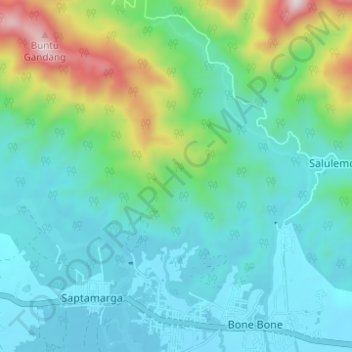
Name: Desa Patoloan topographic map, elevation, terrain.
Location: Desa Patoloan, South Sulawesi, Indonesia (-2.60626 120.48434 -2.54463 120.52643)
Average elevation: 541 ft
Minimum elevation: 33 ft
Maximum elevation: 2,359 ft