
Kunda topographic map
Interactive map
Click on the map to display elevation.
About this map
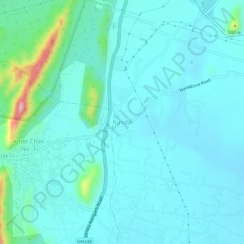
Name: Kunda topographic map, elevation, terrain.
Location: Kunda, Amber Tehsil, Jaipur, Rajasthan, 302028, India (26.97439 75.85860 27.01439 75.89860)
Average elevation: 1,342 ft
Minimum elevation: 1,237 ft
Maximum elevation: 1,955 ft