
Strøby topographic map
Interactive map
Click on the map to display elevation.
About this map
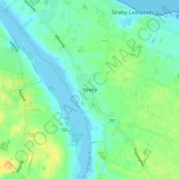
Name: Strøby topographic map, elevation, terrain.
Location: Strøby, Stevns Kommune, Region Seeland, 4671, Dänemark (55.36334 12.26287 55.40334 12.30287)
Average elevation: 30 ft
Minimum elevation: -13 ft
Maximum elevation: 85 ft