
Comuna 1 topographic map
Interactive map
Click on the map to display elevation.
About this map
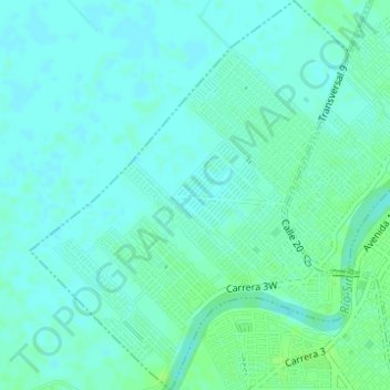
Name: Comuna 1 topographic map, elevation, terrain.
Location: Comuna 1, Montería, Centro, Córdoba, Colombia (8.74221 -75.91712 8.77271 -75.89180)
Average elevation: 49 ft
Minimum elevation: 36 ft
Maximum elevation: 66 ft
Other topographic maps
Click on a map to view its topography, its elevation and its terrain.