
Bindura topographic map
Interactive map
Click on the map to display elevation.
About this map
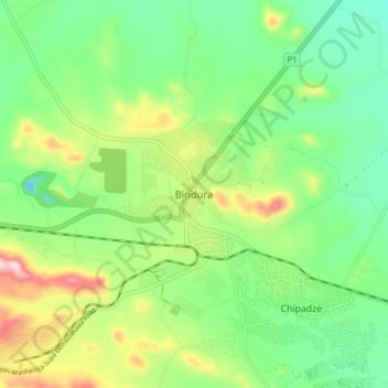
Name: Bindura topographic map, elevation, terrain.
Location: Bindura, Mashonaland Central Province, Zimbabwe (-17.33897 31.28997 -17.25897 31.36997)
Average elevation: 3,573 ft
Minimum elevation: 3,182 ft
Maximum elevation: 4,331 ft