
Tamassit topographic map
Interactive map
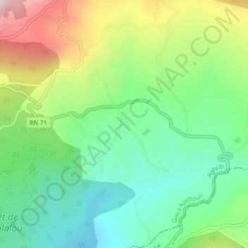
Click on the map to display elevation.
About this map
Name: Tamassit topographic map, elevation, terrain.
Location: Tamassit, Aghrib, Daïra Azeffoun, Tizi Ouzou, Algérie (36.78853 4.34882 36.80214 4.37226)
Average elevation: 1,273 ft
Minimum elevation: 653 ft
Maximum elevation: 2,405 ft