
Mount Panorama topographic map
Interactive map
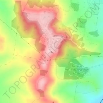
Click on the map to display elevation.
About this map
Name: Mount Panorama topographic map, elevation, terrain.
Average elevation: 2,572 ft
Minimum elevation: 2,218 ft
Maximum elevation: 2,890 ft
Other topographic maps
Click on a map to view its topography, its elevation and its terrain.
Dunkeld
Australia > New South Wales > Bathurst
Dunkeld, Bathurst, Bathurst Regional Council, New South Wales, 2795, Australia
Average elevation: 2,251 ft