
Damoh topographic map
Interactive map
Click on the map to display elevation.
About this map
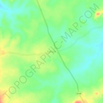
Name: Damoh topographic map, elevation, terrain.
Average elevation: 1,982 ft
Minimum elevation: 1,919 ft
Maximum elevation: 2,073 ft
Other topographic maps
Click on a map to view its topography, its elevation and its terrain.
Bijatola
India > Madhya Pradesh > Baihar Tahsil
Bijatola, Baihar Tahsil, Balaghat District, Madhya Pradesh, India
Average elevation: 1,932 ft