
West Fork topographic map
Interactive map
Click on the map to display elevation.
About this map
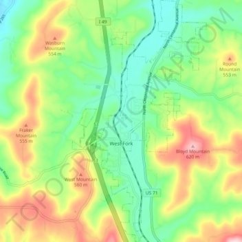
Name: West Fork topographic map, elevation, terrain.
Location: West Fork, Washington County, Arkansas, USA (35.89426 -94.20704 35.96796 -94.15650)
Average elevation: 1,535 ft
Minimum elevation: 1,204 ft
Maximum elevation: 2,070 ft