
Avena topographic map
Interactive map
Click on the map to display elevation.
About this map
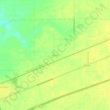
Name: Avena topographic map, elevation, terrain.
Location: Avena, Fayette County, Illinois, 62418, United States (38.98754 -88.94784 39.02754 -88.90784)
Average elevation: 587 ft
Minimum elevation: 538 ft
Maximum elevation: 610 ft
Other topographic maps
Click on a map to view its topography, its elevation and its terrain.
Carlyle Lake State Wildlife Management Area
United States > Illinois > Fayette County
Carlyle Lake State Wildlife Management Area, Fayette County, Illinois, United States
Average elevation: 443 ft
Vandalia
United States > Illinois > Fayette County
Vandalia, Fayette County, Illinois, 62471, United States
Average elevation: 505 ft