
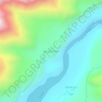
索松村 topographic map
Interactive map
Click on the map to display elevation.
About this map
Name: 索松村 topographic map, elevation, terrain.
Location: 索松村, 派镇, 米林市, 林芝市, 西藏自治区, 中国 (29.55655 94.87170 29.59655 94.91170)
Average elevation: 10,653 ft
Minimum elevation: 9,469 ft
Maximum elevation: 13,993 ft
Other topographic maps
Click on a map to view its topography, its elevation and its terrain.